We wanted to see the Dolomites, but we’re not the kind of hikers who get excited by the prospect of gaining 2,000 or 3,000 feet of elevation a day, for multiple days. After a lot of research, we settled on northern Italy’s Val Gardena, where we could take lifts up the slopes and hike in relatively level (or downward) terrain.
A shout-out to Laurel and Richard Barton, whose book “Walking in Italy’s Val Gardena” was an invaluable resource. They also blog about their European adventures at girovaga.com.
The Val Gardena, roughly halfway between Venice and Innsbruck, is part of the semi-autonomous Italian region of South Tyrol, where inhabitants may speak Italian, German, or the rarely heard language of Ladin. Signs (and place names) are generally in two or three languages.
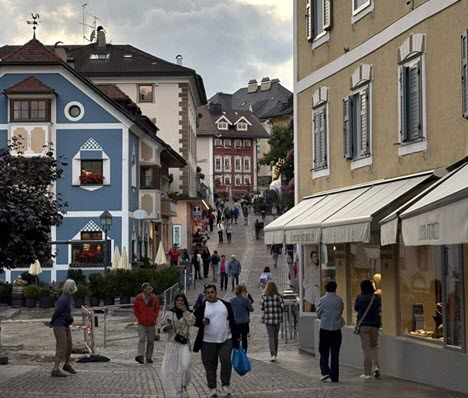
The valley consists of three major towns connected by an excellent bus system that is free for most tourists. We based in Ortisei (aka Urtijei, aka St. Ulrich), the biggest and busiest of the three villages and completely walkable. There is a tourist center where you can get maps and information.

The other main options for lodging are Selva (Wolkenstein) and sleepy Santa Cristina.
Hiking the Val
We spent four days hiking in the Val, taking advantage of gondolas, buses and a funicular to get to and from the trail heads. Staying in Ortisei allowed us to walk to the lifts to start our hikes on most days.
For all your hikes, be sure you have a decent hiking map or an app such as All Trails—making sure to download the trails beforehand.
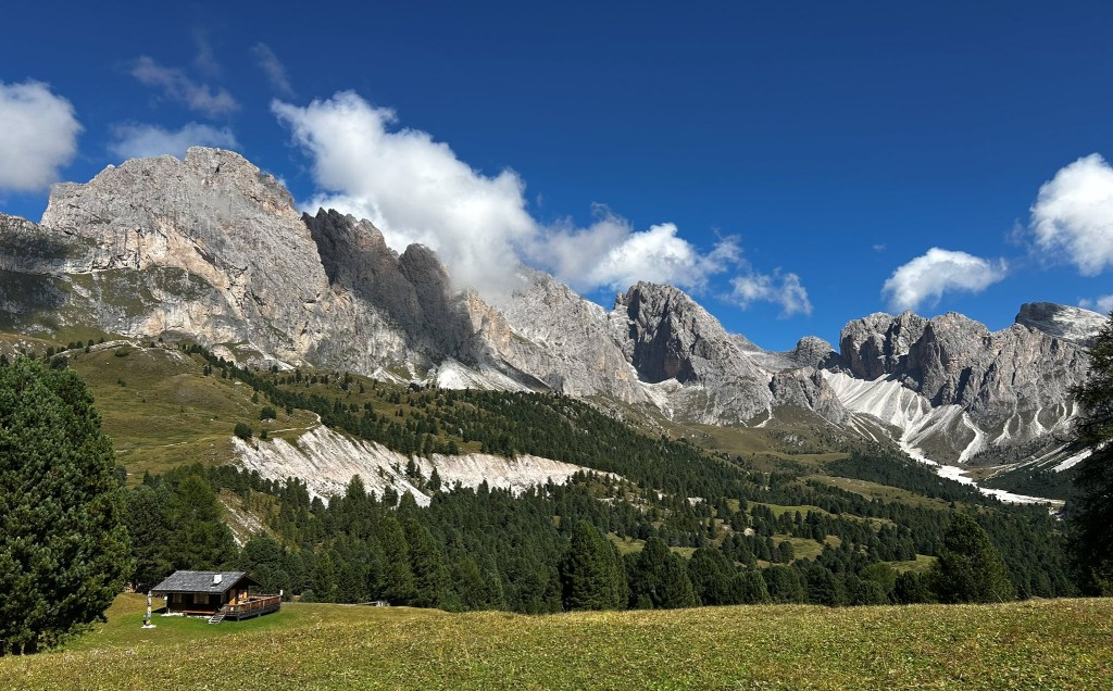
Day 1: Meadows of Rasciesa di Fuori
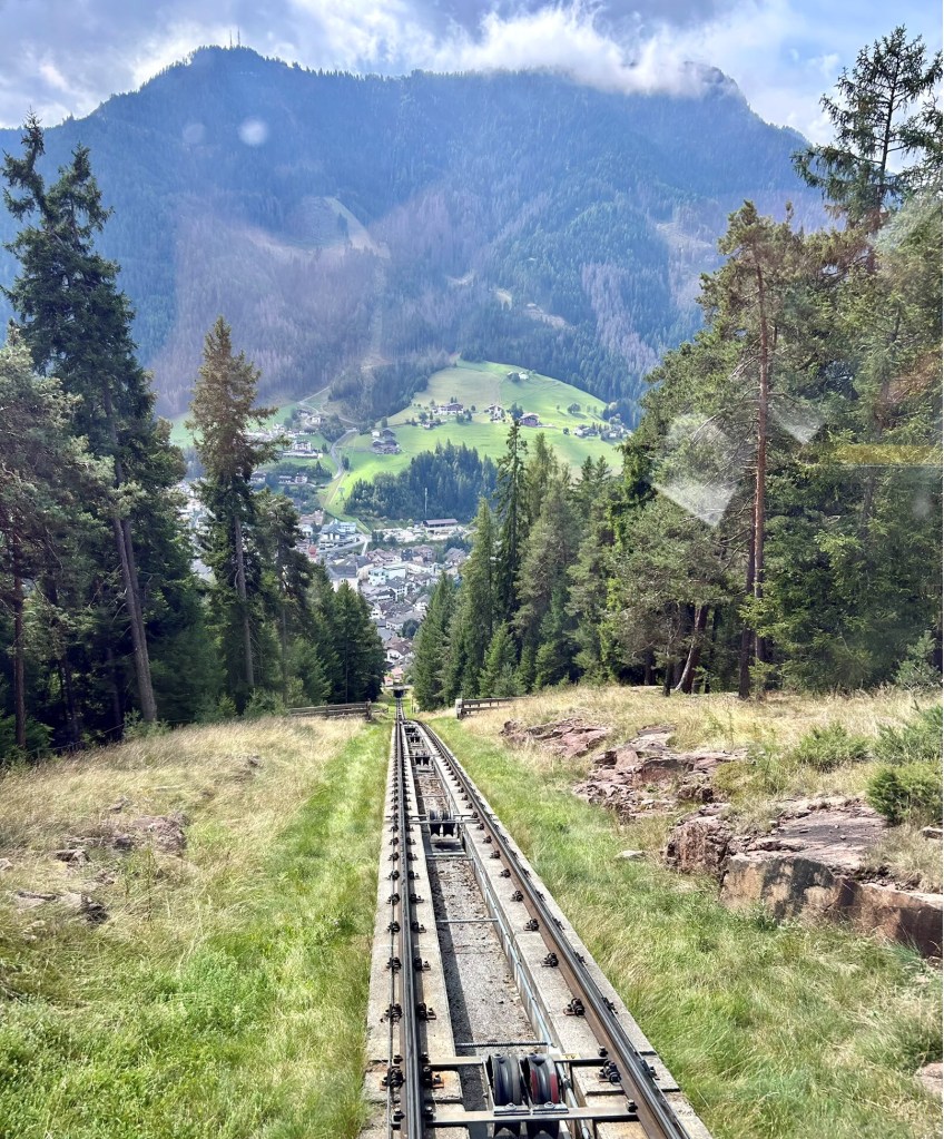
The funicular to the Rasciesa di Fuori meadows leaves out of Ortisei and brings you up to a spectacular ridge, with views back across the valley. (Try to sit in the front car both ways.)
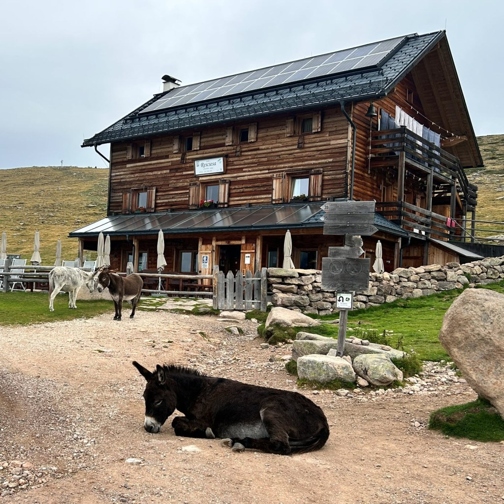
Despite weather that was a bit threatening, we did a 7-mile, mostly flat hike, where we saw wild horses running by and a donkey taking a break on the trail. We also stopped at the Santa Croce chapel, where photos of local residents who had passed recently were placed on small shelves.
We circled back to the “rifugio” at the top of the funicular. Refugios (or restaurants) are rustic mountain huts, spread across the Dolomites, connecting a group of ski areas known as the Dolomiti Superski. When the ski areas were built, they also created a connected trail system allowing the refugios to operate most of the year. Many of them have been family-owned for generations, and some have inns allowing you to create a hut-to-hut experience.
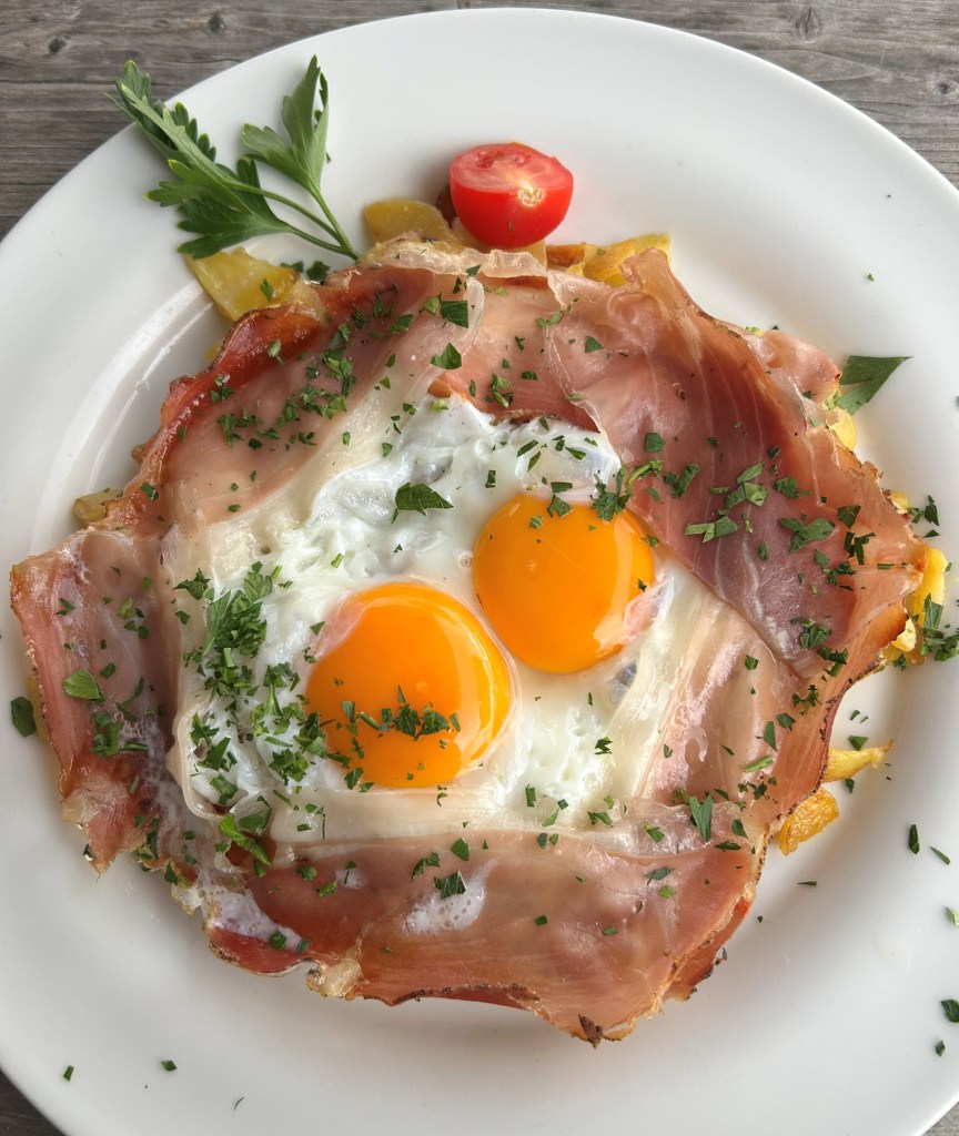
At this refugio we had our first encounter with the amazing food available along the mountain trails. The egg and potato creation, which we saw on menus throughout the region, was fantastic after the hike.
Trail info
Rasciesa di Fuori
7 mile out-and-back with 538 feet in elevation gain.
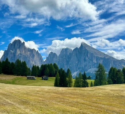
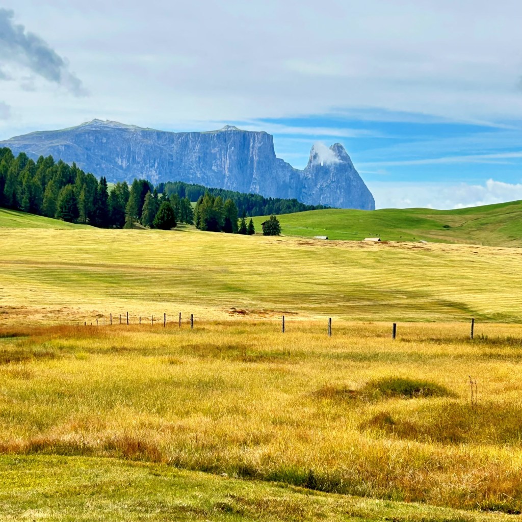
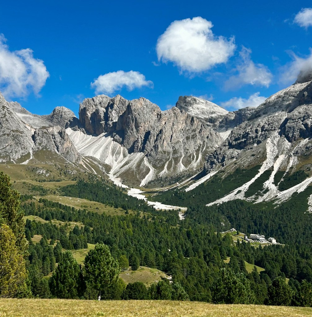
Day 2: Alpe di Siusi—highest alpine meadow in Europe
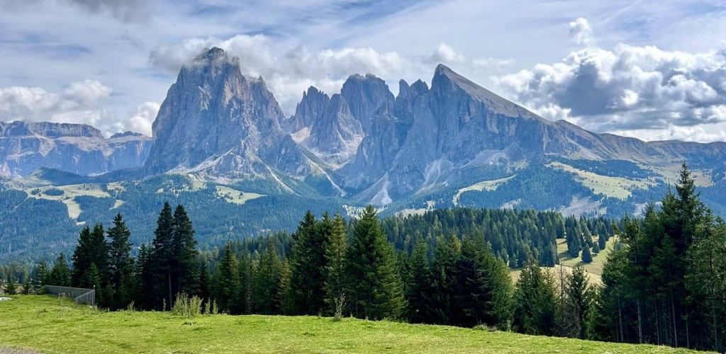
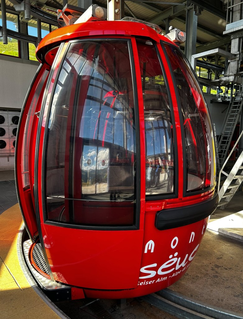
For our second hike, we took the popular Alpe di Suisi gondola from central Ortisei to the massive Alpe di Suisi area. We started fairly early, and there was no line, but this is probably the most popular area for day hiking in the Val Gardena, so we did encounter some crowds.
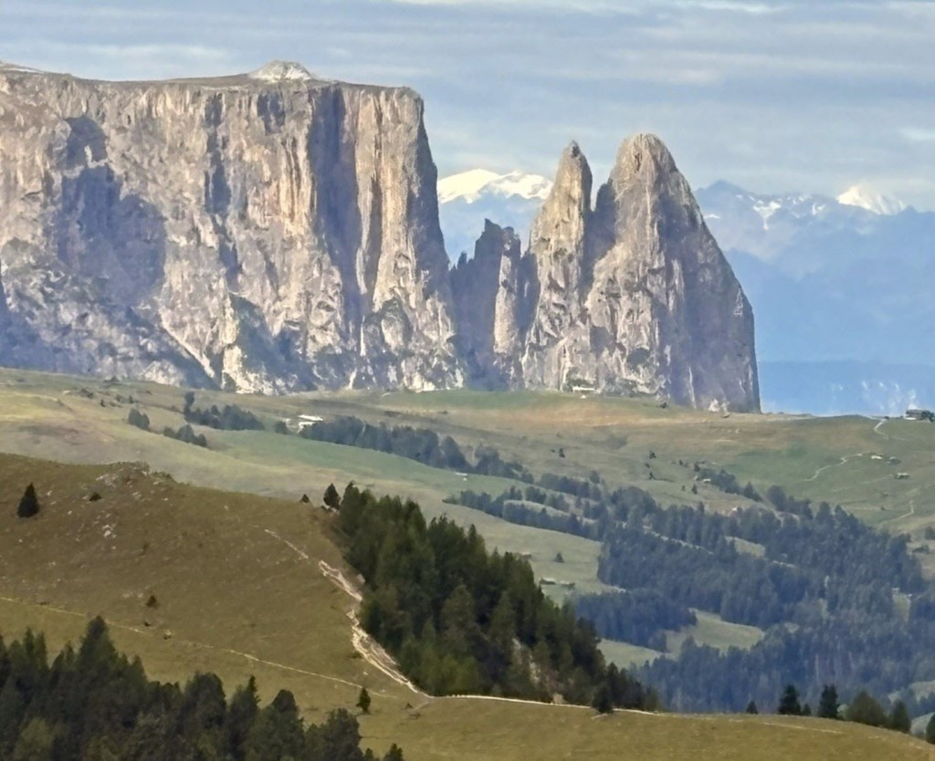
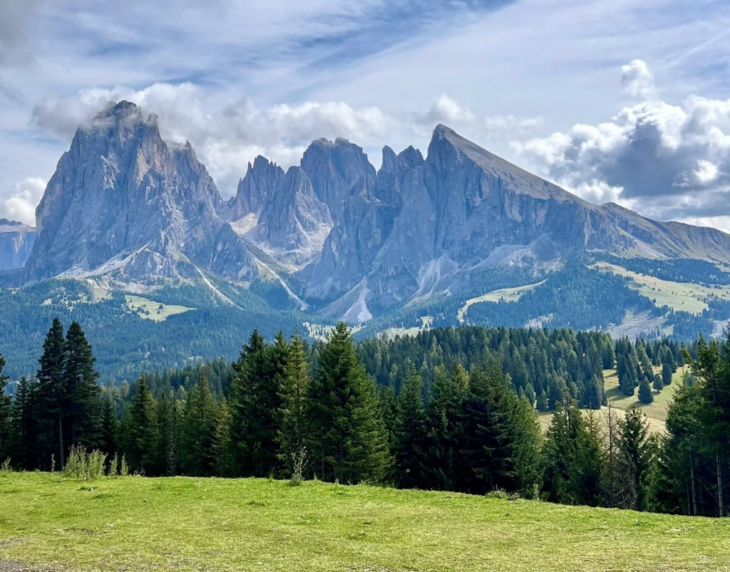
After a quick stop at the Mont Seuc rifugio for some caffeination, we started a counterclockwise loop hike. The clouds lifted, revealing spectacular vistas up and down the valley, including the imposing Sassopiatto massif that dominates the valley.
We normally find that we can shake the crowds after the first mile or so of hiking, but this was not the case here. That’s at least partly because the trails are so accessible and gentle. Some trails are paved, and there is a two-way chairlift available, making it even easier to get up and down in the valley. We were also surprised by the occasional car traveling through, and the not-so-occasional bike or e-bike. We were never quite certain on how cars get permission to drive in this area, but there are several hotels scattered throughout the valley, so it’s not pristine wilderness. We also learned that that this is the most popular part of the Dolomiti Superski ski resort area, filled in wintertime with families and beginner to intermediate skiers.
Eventually we left the crowds, hiking across the bucolic meadows, skirting private property and making our way to a supposed “lake” that turned out to be little more than a puddle. We opted to not wait for the chairlift (operator was on lunch break) and hiked up the last mile for a bit of extra exercise. We were huffing and puffing by the time we finished, earning a tasty lunch on the patio, where we continued to absorb the amazing views before heading back down the gondola. As with all hikes in Val Gardena, there are countless options for changing or extending the route, including hiking up or down without benefit of the ski lifts.

Trail info
Alpe di Siusi
3.4 mile loop with 59 feet of elevation gain.
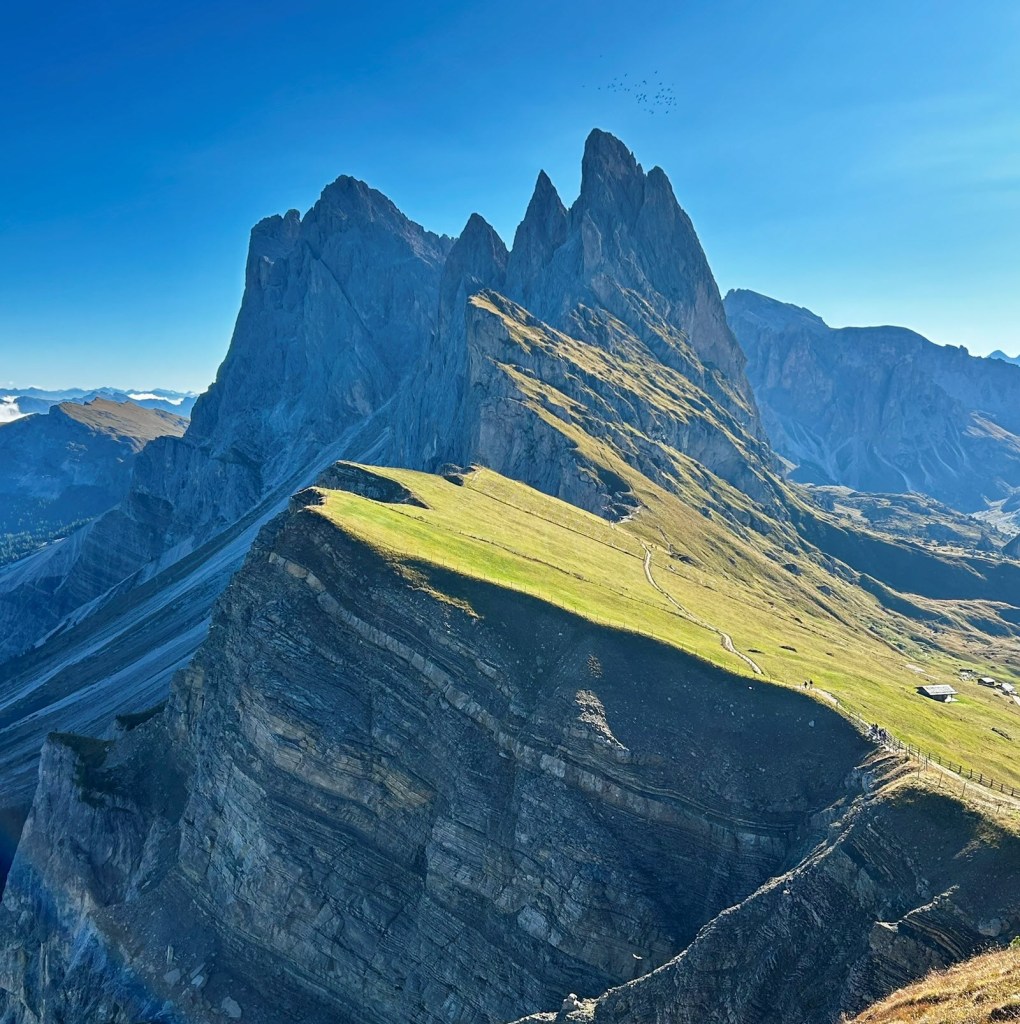
Day 3: Seceda—the crown jewel of the Val
For our next hike, we left directly out of Ortisei, this time for a two-gondola trip up to Seceda—the crown jewel of the Val. The first lift, from Ortisei to Furnes, was a small 6-passenger lift, followed by a larger gondola from Furnes to Seceda. This second lift, which accommodated about 30 people (standing), covered a total of 1,150 vertical meters, rising to the giant wall of the Seceda formation, which tops out at 2,500 meters. (Note: For summer 2026, tickets must be pre-booked online for specific 30-minute time slots, with limited availability at the valley station.)
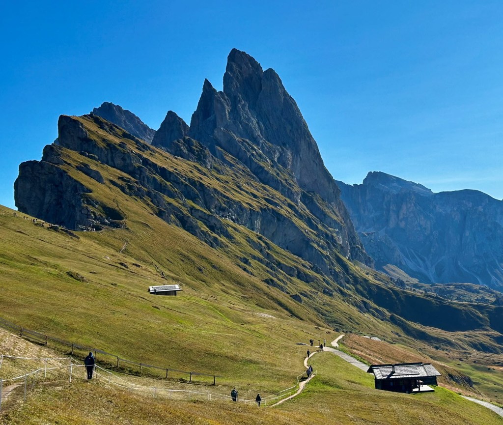
From the top of the second lift, we hiked up the Panorama Trail for a view of Seceda, distant Alps, and back across the valley to Sassolungo, the highest peak in the valley.
At the top of the Panorama Trail, an additional trail offered a shortcut to an even higher viewpoint for a minimal fee of a few euros. We initially planned to ante up, but the trail was guarded by an attendant smoking a cigarette and looking at his phone, and we decided to just move on. Call it an aesthetic decision. (The viewpoint is also reachable by a short, steep out-and-back spur from a lower trail.)
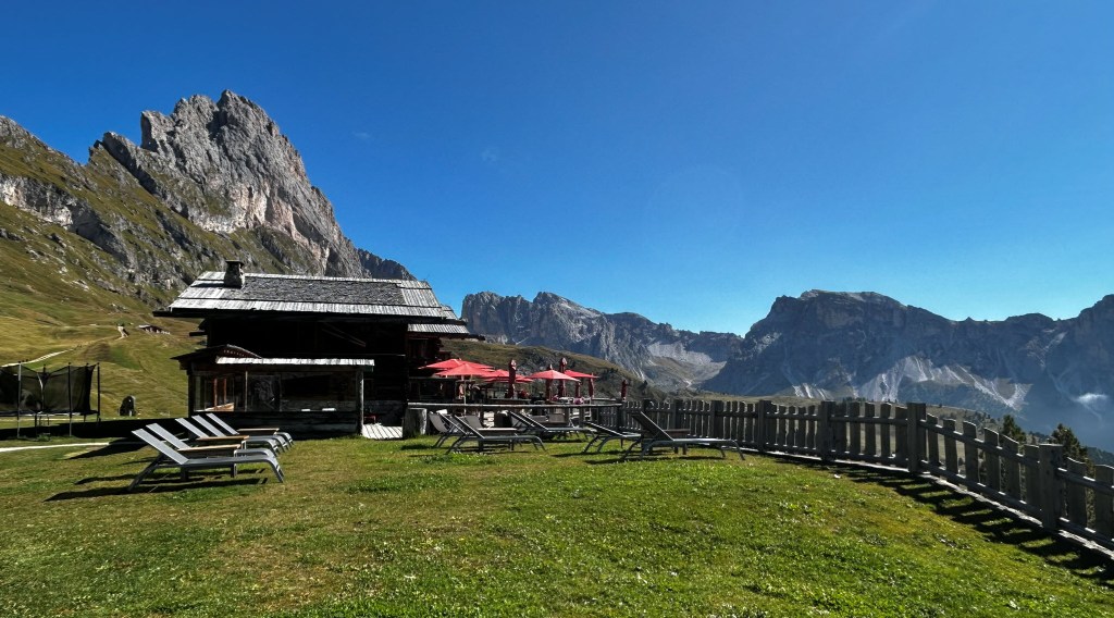
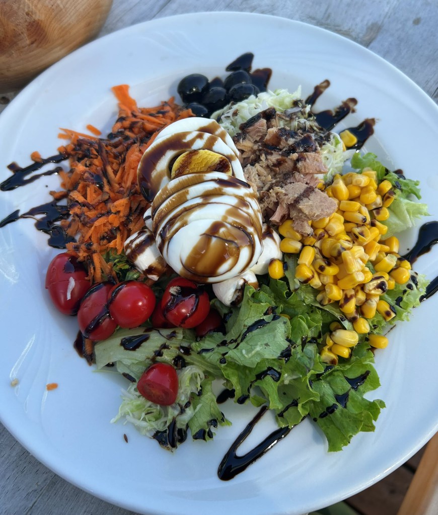
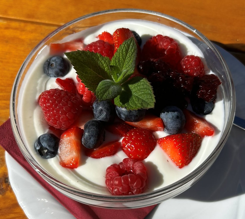
The Seceda ridge was fairly crowded with hikers, so we veered off the ridge and down into the valley, to less crowded trails. Once again, the rifugios along the trails were nothing short of amazing, and we had some of the best food of the whole trip in this little valley, including wonderful coffee, pastries, pasta and salad. (Yes, we ate a lot on these treks.)
We even took some extra time to stretch out in lounge chairs and just soak up the views—and the sunshine. We finished the hike at Col Raiser, where we took a gondola down into Santa Cristina and wandered around the town around before catching the bus back to Ortisei.
Trail info
Seceda via Urtijëi – Seiser Alm
8 mile loop to/from Seceda Gondola with 1069 feet of elevation gain.
Seceda to Col Raiser
3.79 mile from Seceda Gondola to Col Raiser lift to Santa Crista with 364 feet of elevation gain.
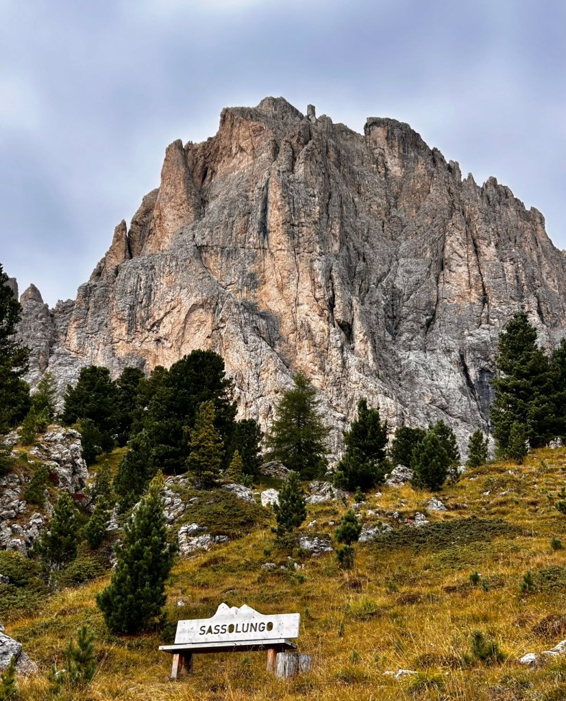
Day 4: Around the Sassolungo
For our last hike in the Val, we took the bus from Ortisei to Selva (about 45 minutes each way) and hopped on the Ciampinoi gondola. This lift brought us to another spectacular vista of the distant Alps and the looming Sassolungo peak—the highest in the region at 3,181 meters. After another excellent cappuccino, and a scramble up to a viewpoint, we started off to our destination a few miles away, hiking under the looming and majestic presence of mighty Sassolungo.
On the way we stopped at the beautiful Rifugio Emilio Comici, and while it was too early for lunch, we definitely had to go inside to experience one of the most impressive restroom facilities we had ever seen at any elevation, much less 2,100 meters above sea level.
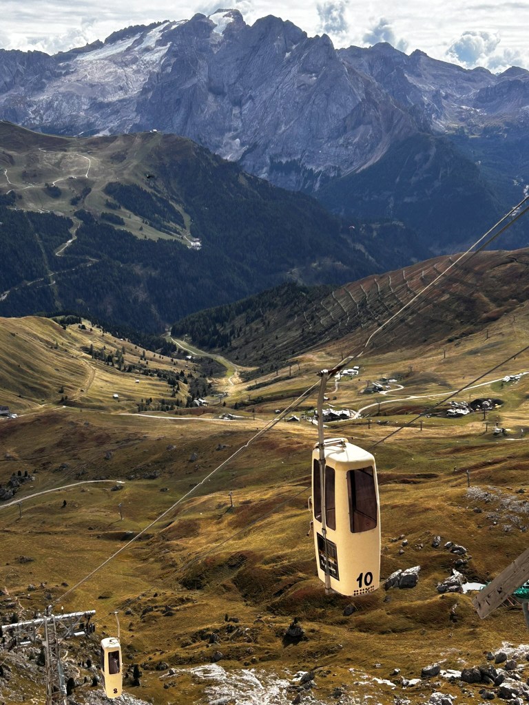
The coffin lift
This hike will take you to the famous Forcella Sassolungo refrigerator lift, aka “coffin cars,” and it must be experienced to be believed. These vertical cars, which look something like refrigerators, have a capacity of two people standing up, who at the very least should be good friends. The first person jumps on, and the second person is then shoved on by helpful attendants.
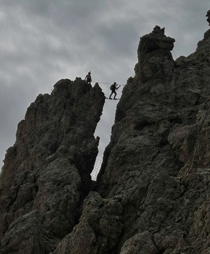
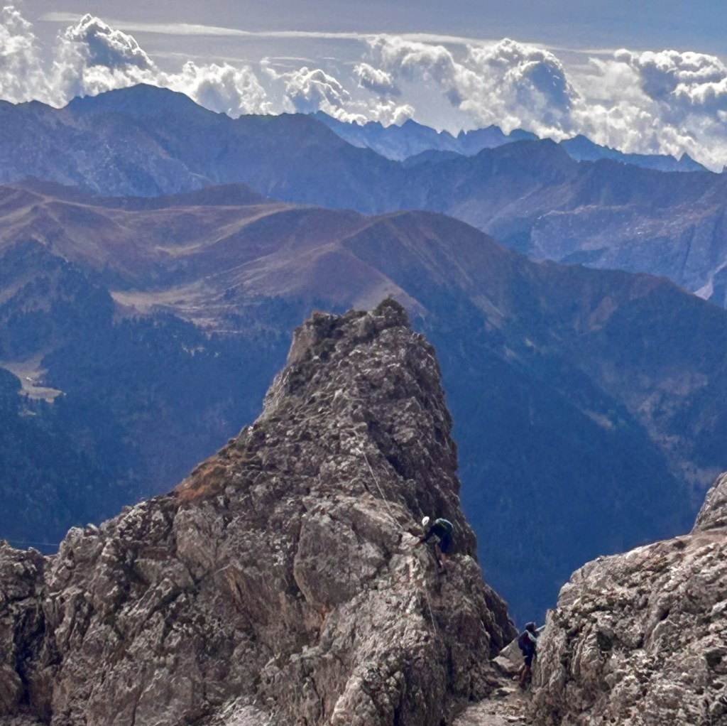
From there, the lift takes you a dizzying 500 meters up the Sassolungo to a world-famous rock-climbing destination, where you’re likely to see climbers on the pinnacles or crossing suspended rope lines. Visit the small but inviting Rifugio Toni Demetz (get the donut), and take in the short trails to get different views. You can hike down or get back on the refrigerator car for another small thrill.
Trail info
Sassolungo
4 mile out and back with 2,110 feet of elevation gain
Food tour
A word about lift tickets
There are a number of options to ride the lift, including one-way, round-trip, and day passes. We opted for the Gardena Card—a multiday pass good for five out of seven days)— that gave us access to most of lifts in the valley. This turned out to be a great option for us, as we ended up tapping our cards about a dozen times on various lifts (including one “joy ride” up and down).
Note: One lift not covered by the multiday passes is the confusingly named Siusi – Alpe di Siusi gondola between Siusi and Compatsch. If you want to ride this gondola, you will have to pay a la carte. Alternatively, there is bus service available.
Getting in and out of Ortisei
There are several ways to get to and from Ortisei: by car, shuttle or bus. Since cars are not recommended (or needed), the bus or shuttle is your best bet. We came from Innsbruck, and after searching the various bus routes we settled on Clever Transfer shuttle service. The price was reasonable and the service was excellent: They picked us up on time at our hotel and sent an item we left on the shuttle to our Portugal hotel.
We departed Ortisei by bus to the Bolzano train station—a fairly big hub—where we picked up a train to Venice. See südtirolmobil for bus and train information and tickets for travel throughout the South Tyrol area.
Links
Val Gardena Card—unlimited use of all lift facilities in Val Gardena
Clever Transfer —private shuttle service into the Dolomites
südtirolmobil—bus and train service into the Dolomites
Forcella Sassolungo—info for the coffin cars
Trails
Rasciesa di Fuori—7 mile out-and-back with 538 feet in elevation gain.
Seceda via Urtijëi – Seiser Alm—8 mile loop to/from Seceda Gondola with 1069 feet of elevation gain.
Seceda to Col Raiser—3.79 miles from Seceda Gondola to Col Raiser lift to Santa Crista with 364 feet of elevation gain.
Alpe di Siusi—3.4 mile loop with 59 feet of elevation gain.
Sassolungo—4 mile out and back with 2,110 feet of elevation gain

Leave a comment